
Introduction:
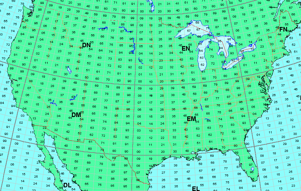
Grids are a designated portion of land or water that are defined by latitude and longitudinal lines. The whole world is mapped with designators to identify what grid is what. The "Maidenhead Grid" system is what Amateur Radio operators in the VHF and above world use to know where they are as well as be able to calculate antenna headings to another grid. For instance, my station is located in EN13VC. My GPS can identify this and if I have it turned on as I drive around, it changes as I enter the next grid. There is a lot of information on the specifics of the the "Maidenhead Grid" system and I will not address it here.
Grids for VHF and microwave communications give Hams a system for keeping track of where they have contacted one another. "Collecting" of grids is a favorite pass time for many and various awards from major radio organizations are available for those who would choose to apply for the them.
The ARRL has the VUCC program for grid awards. I keep track of my grids for this awards program. Awards are given for the 50 MHz and up amateur bands if specific criteria is met. Click here for information on the ARRL VUCC Program.
So, without further adieu, here are my grid maps....902 MHz thru 24 GHz
50, 144, 222 and 432 MHz grid maps to be added someday.
The RED DOT indicates my location of EN13VC
73 - Mike - KMØT EN13vc
Note that all the below grids are terrestrial. No EME grids.
900 MHz - VUCC # 30 - 55 Grids
1296 MHz - VUCC # 133 - 72 Grids
2304 MHz - VUCC # 65 - 51 Grids
3456 MHz - VUCC # 60 - 43 Grids
5.7 GHz - VUCC # 44 - 41 Grids
10 GHz - VUCC # 123 - 62 Grids
If you would like a base grid map of the above that you can edit, click here to download....